What is GSD and How It Works
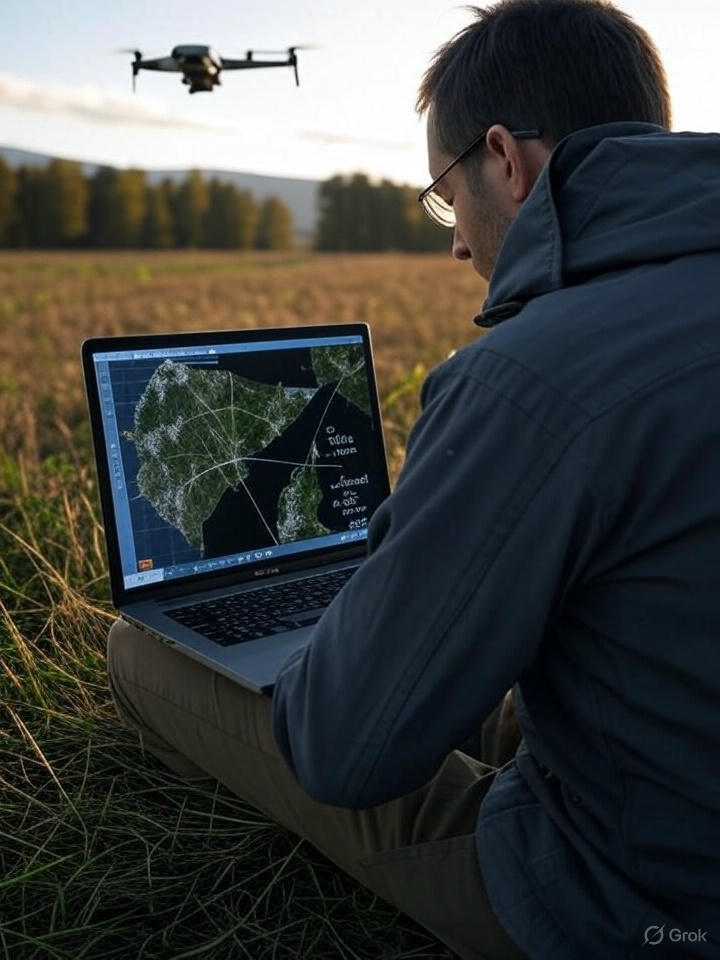
Ground Sampling Distance (GSD) is your key to sharp, useful drone maps. It measures how much ground each pixel covers—lower GSD means clearer details, like spotting tiny cracks on a bridge. This guide explains GSD’s role in drone mapping, covering sensors, lenses, motion blur, and how drones compare to satellites or planes. Try our tools to explore GSD calculations and see how the GSD App can streamline your mapping projects.
GSD tells you the size of each pixel’s ground coverage, in centimeters per pixel. A 2 cm/pixel GSD means one pixel captures a 2 cm by 2 cm area. Lower GSD gives finer detail but creates bigger data files, slowing processing and raising cloud software costs. For inspections, 1–2 cm/pixel reveals structural flaws. Drones hit 1–5 cm/pixel GSD, beating satellites (30–50 cm/pixel) or planes (10–20 cm/pixel), with flexibility to fly when needed.
The math is simple
GSD = (Sensor Width × Flight Altitude) / (Focal Length × Image Width in Pixels)
Sensor Width: Camera sensor width (mm).
Flight Altitude: Drone height (m), converted to mm.
Focal Length: Lens-to-sensor distance (mm).
Image Width: Image’s horizontal pixels.
Example: Crack Detection
For inspecting a bridge, a 20MP camera (13.2 mm sensor, 5472 pixels wide) at 30 m altitude with a 50 mm focal length gives: GSD = (13.2 × 30,000) / (50 × 5472) ≈ 1.45 cm/pixel. This can spot cracks as small as 2 mm, perfect for structural checks.
Sensors and Lenses
Drone cameras use sensors to capture light and lenses to focus it. A 1-inch sensor (13.2 mm wide) with 20MP (5472 × 3648 pixels) balances detail and file size. Smaller pixels (e.g., 1.2 µm) pack in resolution but falter in low light; larger pixels (e.g., 3.8 µm) handle dim conditions better. Most drones use CMOS sensors for speed and low power, delivering clear images for inspections.
Lenses set the view. A 16 mm focal length lens grabs wide scenes; a 50 mm lens zooms for details. The focal point—where light rays meet—keeps images sharp. Vignetting (darker edges) and warping (bent lines, like barrel distortion) are natural in lenses but worse in cheap designs. Software like Pix4D fixes these with calibration profiles, mapping distortions from test images like checkerboards.
Motion Blur and Shutters
Flying fast or low can blur images, hurting GSD. At 5 m/s (500 cm/s) with a 3 cm/pixel GSD, the shutter needs to be 1/167 s or faster to avoid blur. Mechanical shutters (up to 1/2000 s) keep images steady for mapping; electronic shutters (up to 1/8000 s) are quick but may warp moving objects, fine for inspections. Plan shutter speed to keep images crisp.
Drones vs. Satellites and Planes
Drones are best for small, detailed maps. Their 1–5 cm/pixel GSD outshines satellites (30–50 cm/pixel) and planes (10–20 cm/pixel), and they fly on your schedule, unlike satellites’ orbits or planes’ weather limits. Drones cost $100–$500 per flight for 10–100 hectares, while planes hit $5,000–$10,000. Satellites like Sentinel Hub offer daily 10–60 m/pixel imagery for large areas, but lack drone detail. Plane services like Nearmap give 5–10 cm/pixel a few times a year, or EagleView offers on-demand flights at a high price. Pick drones for inspections, satellites for broad views, and planes for high-resolution coverage.
Planning Drone Missions with GSD
GSD guides your flight plan. A 2 cm/pixel GSD for crack detection means low flights, smaller coverage, and big data—250 GB for 10 hectares. A 10 cm/pixel survey covers more with 25 GB. Low GSD needs more flights, eating batteries and time. Cloud processing costs scale with data size (e.g., $100–$500 for 250 GB on Pix4Dcloud), while desktop processing is free but takes hours based on data volume. Midday light suits inspections; plan around airspace rules for safe flights. For a 40-hectare inspection at 2 cm/pixel, expect 10 flights and 600 GB; at 5 cm/pixel, 6 flights and 360 GB save time but lose some detail.
Why GSD Matters
GSD turns drone flights into actionable data. It helps inspectors catch cracks early, keeping structures safe with minimal effort. By grasping GSD, you plan missions that get the right detail without wasting time or data. The GSD App puts these tools at your fingertips, letting you calculate resolutions, plan flights, and process maps easily. Try the GSD Tool online to see how it works and start mapping smarter with the GSD App today.
Ready to Get Started?
Launch the GSD (Get Stuff Done) app to put this knowledge into action.
Open GSD App