Resources & Insights
Discover guides, tutorials, and insights to help you get the most out of drone technology for your business.
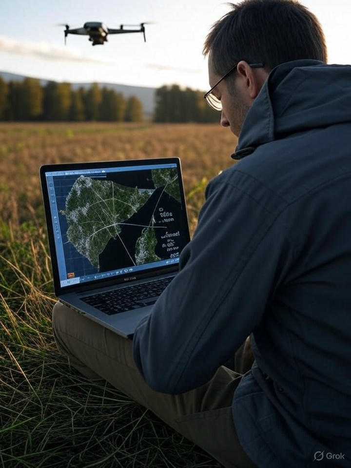
Understanding GSD for Drone Mapping
Mapping with optics, sensors, and applications for agriculture and inspections.
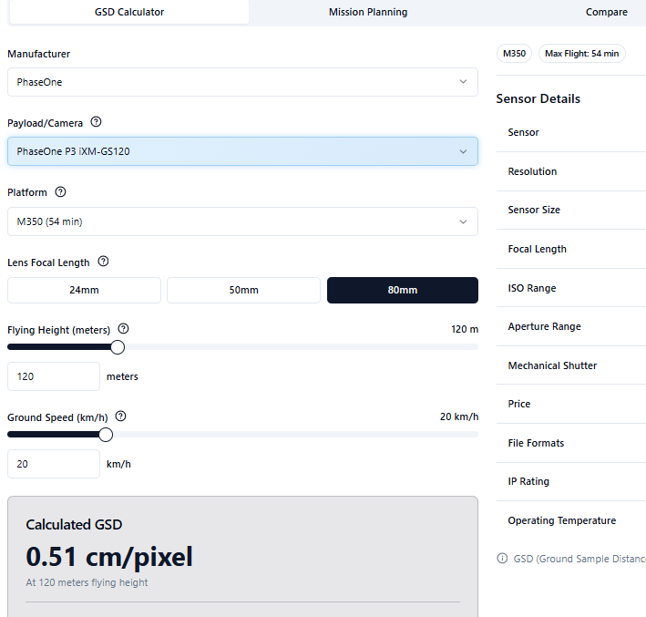
GSD Calculator
Interactive tool to calculate GSD for Drones

Australian Airspace Visualizer
Interactive 3D Map with Airspace and Live Plane Data
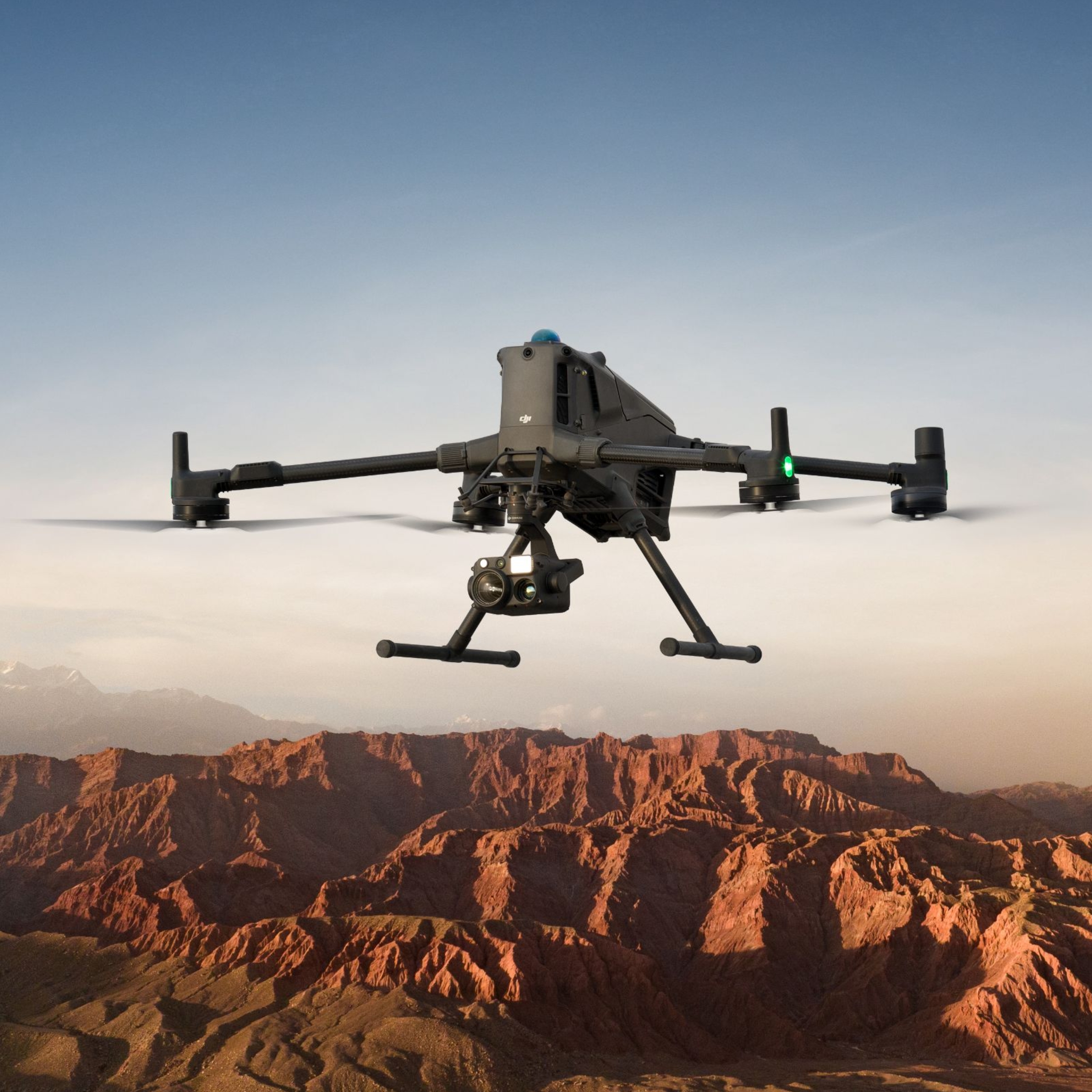
Introducing the DJI Matrice 400
The recent launch of DJI's Matrice 400 (M400) marks a significant advancement in drone technology

Airspace: A Guide to Classes, Management, Drones, and Future Innovations
Australia’s skies are a bustling hub of activity, from massive jetliners to tiny drones buzzing over backyards. This vast airspace is meticulously managed to keep everyone safe while embracing new technologies like drones and advanced traffic systems.